City of New Rochelle Downtown Overlay Zones


Project Location: New Rochelle, NY
Client: City of New Rochelle Department of Development
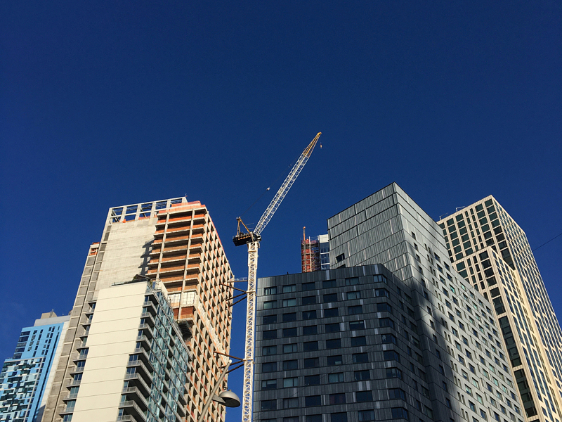
NPV worked with the City of New Rochelle and the City’s Master Developer in preparing a Generic Environmental Impact Statement (GEIS) to evaluate the proposed adoption of a Downtown Overlay Zone (DOZ) for a 279-acre area of the downtown, centered around the New Rochelle train station. The DOZ is optional, whereby landowners can choose to construct at a higher density in exchange for providing certain community benefits. The intent of the Downtown Overlay District is to encourage downtown redevelopment through the creation of an active, mixed-use district with convenient, safe and pleasant access to the train station. The proposed DOZ would standardize uses to encourage the development of economically diverse high-quality housing, modern retail, commercial, office, hotel space and civic uses integrated with well-designed pedestrian friendly streetscapes, and appropriately placed open and green spaces. The GEIS evaluated the specific code amendments to establish downtown overlay districts, as well as site specific impact analysis of the theoretical development scenario pursuant to the zoning amendments. The theoretical development scenario evaluated such key issues including traffic, system wide sewer and water infrastructure improvements, historic resources, community character, shadows, construction phasing, parking, air and noise. NPV also prepared an economic impact analysis, which identified and quantified economic impacts on output, employment and labor income, as well as tax revenues. The environmental analysis included extensive outreach with community service providers and regulatory agencies to identify and resolve various issues, allowing the City to adopt the DOZ in 2015.
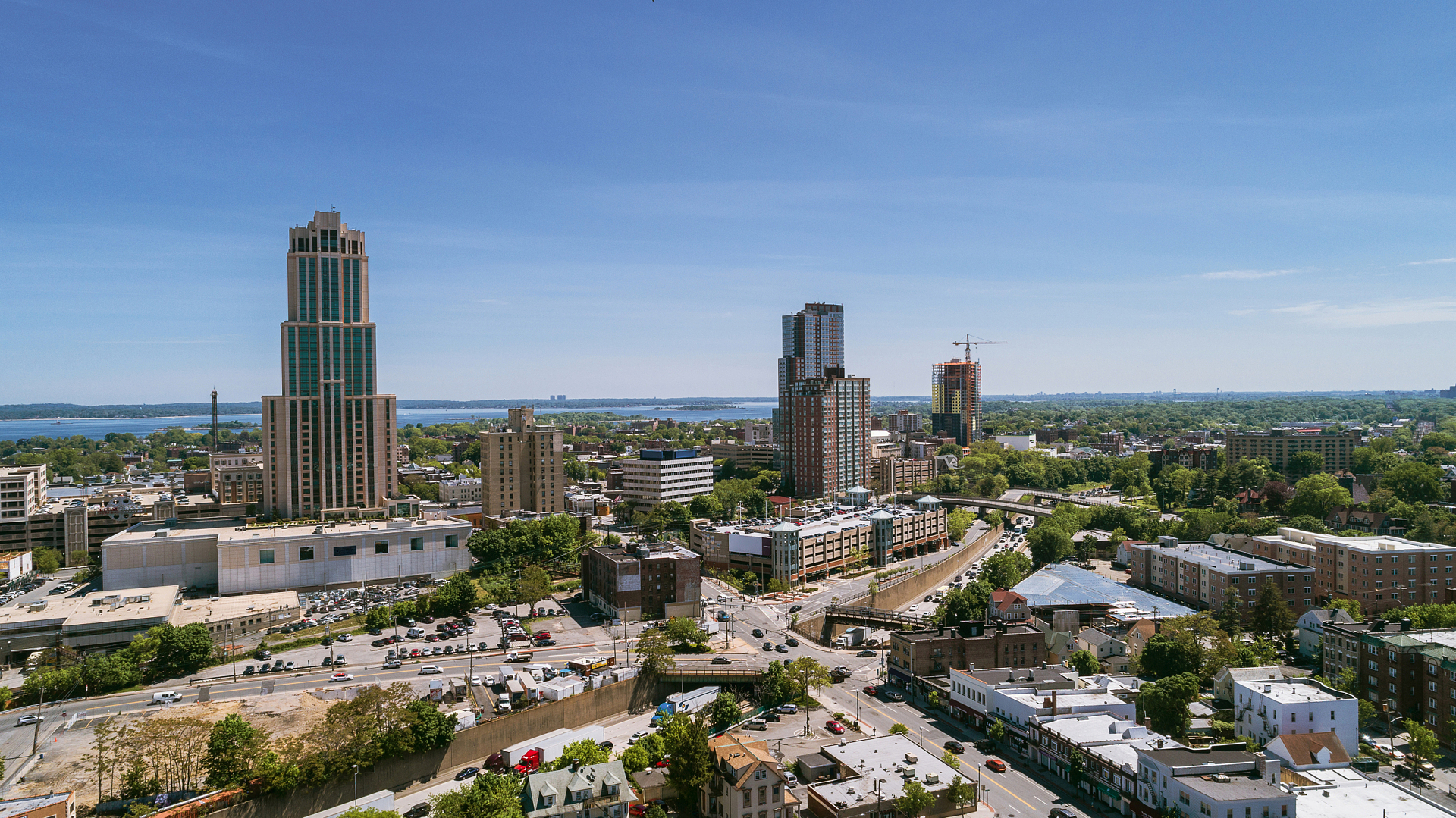
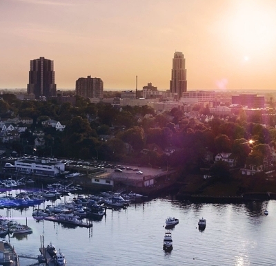
Since the adoption of the districts, the City has retained NPV to assist with the establishment of an additional overlay district, DO-7, which will extend the DOZ to the City’s waterfront. This new DO Zone is intended to create a more productive and sustainable mix of land uses along the City’s Echo Bay/Snuff Mill Creek/Long Island Sound waterfront. NPV delineated the wetland boundary and redevelopment activities will include shoreline restoration and establishment of a public promenade along the waterfront. The DO-7 waterfront includes brownfield properties and the City Dept. of Public Works facility that will be relocated and remediated to allow for redevelopment. Additionally, the DO-7 includes an historic armory facility that will be restored and adaptively reused.
Relevant Project Components:
- SEQRA Generic Environmental Impact Statement
- Land Use/Zoning Analysis
- Wetland Delineation
- Economic and Fiscal Impact Analysis
- Community Services Impact Analysis
- Visual & Shadow Assessments
- Coastal Consistency Analysis